🌲 Wayne County, Pennsylvania is a scenic, historically rich region nestled in the northern Pocono Mountains, bordering New York State. It’s known for its natural beauty, small-town charm, and deep ties to American history.
🗺️ Geography & Location
- Founded: March 21, 1798, named after Revolutionary War General Anthony Wayne
- County Seat: Honesdale, a borough known as the birthplace of American railroading
- Area: ~751 square miles — mostly rural, with rolling hills, forests, lakes, and the Delaware River forming its eastern boundary
- Highest Point: Mount Ararat in Orson (2,659 ft)
- Adjacent Counties: Pike, Monroe, Lackawanna, Susquehanna (PA); Sullivan, Delaware, Broome (NY)
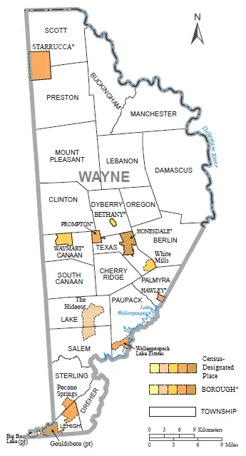
🏘️ Communities
Includes boroughs and townships like:
- Hawley, Waymart, Bethany, Lake Ariel, Hamlin
- Unincorporated gems like Prompton, White Mills, and The Hideout
👥 Demographics
- Population: ~51,000 (2020 Census)
- Median Age: ~49 years — older than the state average
- Racial Makeup: ~88% White, ~5% Hispanic or Latino, ~3% Black, ~3% multiracial
- Ancestry: Strong German, Irish, Italian, English, and Polish roots
💼 Economy & Lifestyle
- Historically rooted in coal, lumber, and railroads
- Today’s economy includes tourism, agriculture, healthcare, and education
- Popular for vacation homes, outdoor recreation, and retirement living
- Median household income: ~$60,000
🏞️ Attractions & Nature
- Lakes: Lake Wallenpaupack, Duck Harbor Pond, and Prompton Lake
- Parks & Trails: State Game Lands, hiking trails, and scenic overlooks
- Events: The Wayne County Fair in Honesdale draws nearly 100,000 visitors each summer
🏛️ Culture & History
- Zane Grey Museum honors the famed Western novelist
- Historic railroads, including the Stourbridge Line, offer scenic rides